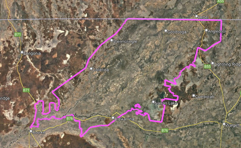
We recently completed our largest aerial survey job we have ever undertaken: 12,892 square kilometres for the NSW Department of Environment to map the extent of semi-arid wetlands , literally at the Back of Bourke! Part of the aerial photography area included the Narran Wetlands, also known as the Narran Lakes, contained within the Narran Lake Nature Reserve. The area that we captured is larger than Sydney at 12,368km² or Melbourne at 9,990km²
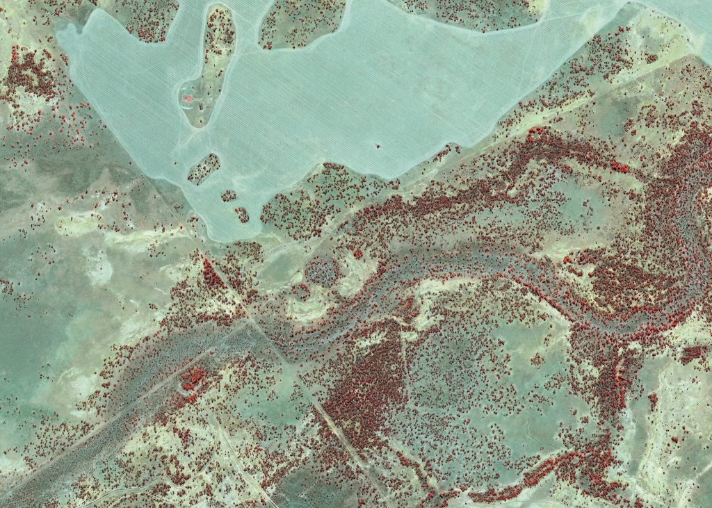
We delivered 5km tiled imagery and an orthophoto mosaic in four bands: Red, Blue, Green and Near Infrared.