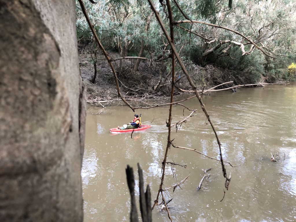
Our Surveyors, Marcus and Tony recently completed a bathymetric survey of the Yarra River in Heidelberg for our client BG&E, at the location of the proposed Banksia Park Shared Use Path Bridge.
BG&E required the survey to cover the full width of the river and also extend a minimum of 50m north and south of the bridge, to better understand the profile and depth of the existing riverbed.
To complete a bathymetric survey, we would normally make use of a GNSS Rover to obtain positioning and height information for the sonar unit.
However due to the large amount of vegetation, Marcus and Tony had to traverse along the riverbank and use a Total Station to get accurate measurements. Due to difficult access to the river, we were unable to use our powered vessel, and had to use our canoe. An excellent opportunity for Marcus to practice his paddling skills!