Quarry Mapping for Barro Group
Sector: Quarries
Location: Several locations across Victoria
Client: Barro Group
Services: Aerial & drone, Volumetric, Topographic
Completion date: Ongoing
Data: Aerial imagery, Orthophotos
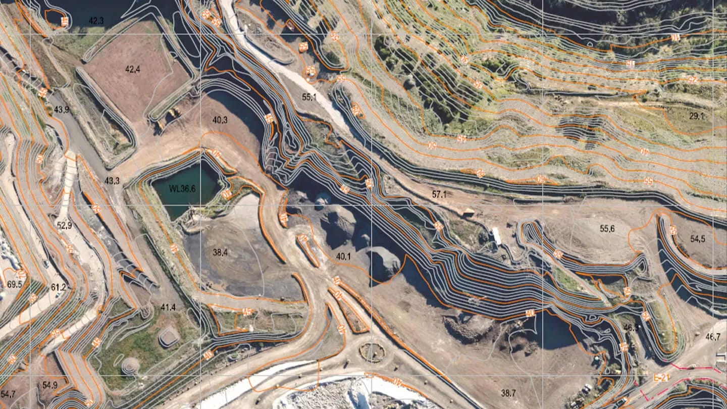
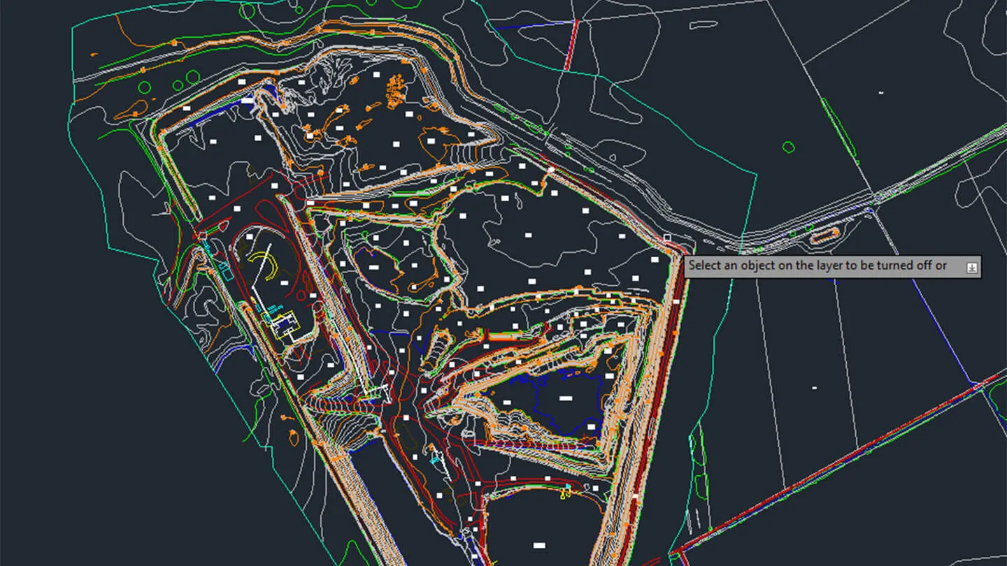
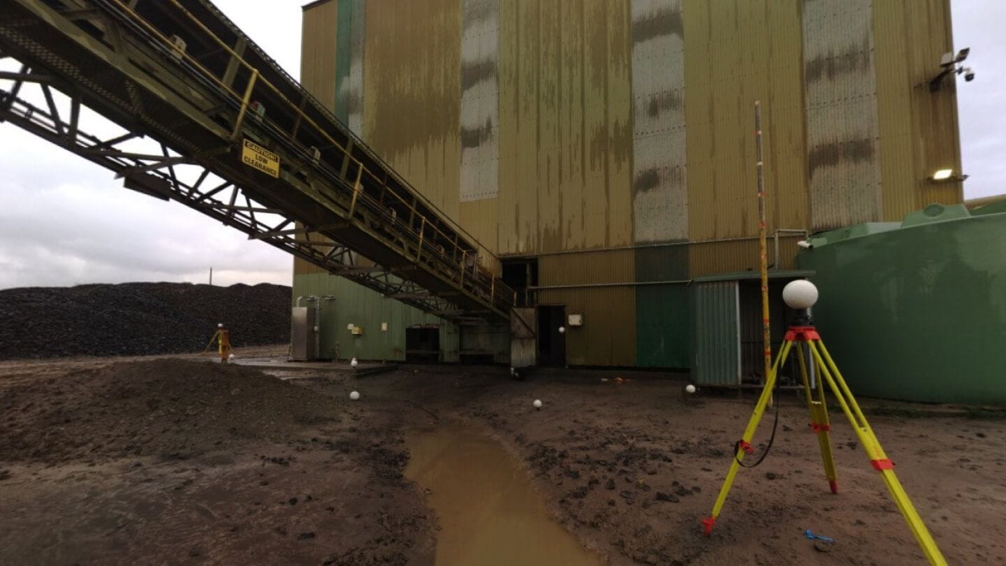
Landair Surveys conducted 3D photogrammetric mapping across 12 quarries across Victoria for the Barro Group. This project delivered precise terrain models and 3D feature lines in CAD files – enabling seamless integration into geologists', mining engineers' and environmental scientists' software for resource planning, progress tracking and operational management.
The orthophoto mosaics supported quarry progress and rehabilitation monitoring, ensuring operations remained within extraction limits. Mining engineers utilised the data for pit design, haul road planning and grade analysis – while geologists calculated resource volumes and identified new quarrying areas. Landair also provided stockpile volume calculations for a comprehensive suite of tools to enhance efficiency and compliance across quarry operations.
Services
Aerial photography (at 20 cm Ground Sample Distance or better) using crewed aircraft and specialised airborne sensor system
Key outcomes
- Orthophoto image files
- CAD files in DXF and DWG formats
More projects