Drone Data Processing Services
Accurate reports processed from drone data provided by clients
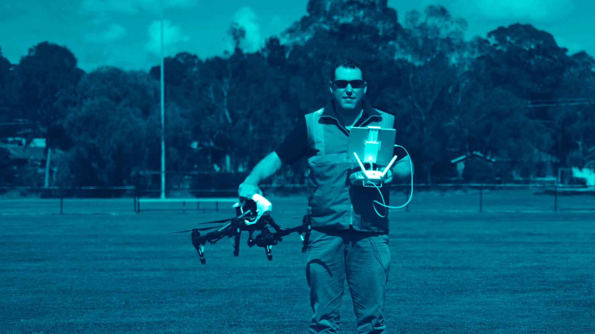
As well as using our own CASA certified pilots to carry out drone (UAV or RPAS) surveys we also process drone data collected by our clients.
Some of our clients capture their own drone imagery but don’t have the time or in house expertise to undertake more than basic image processing and basic volume calculations.
The basic data that is obtained from drones is an ortho-photograph (a photo that has all distortions removed and allows distances and angles to be measured directly from the photo).
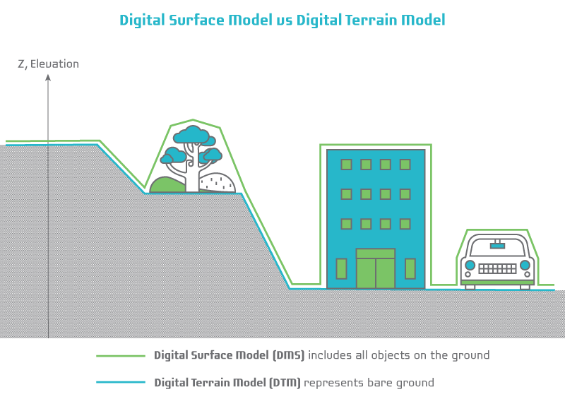
Digital Surface Model (DSM)
With some more processing of the data another deliverable is a Digital Surface Model (DSM). Cloud based drone processing software can provide ortho-photographs and DSM’s but most do not allow for many Quality Assurance checks and realistic accuracy reports are difficult to obtain.
Digital Terrain Model (DTM)
Landair Surveys can assist by extracting a Digital Terrain Model (DTM). Using our understanding of photogrammetry and surveying, we can assist our clients by thinning the DTM and reducing file sizes to manageable sizes but still maintaining accuracy.
Drone data processing
To get UAV data into engineering, mining and quarry planning software further semi-automatic and manual processing is generally required. This further processing involves extracting 2D and 3D lines and strings from the DTM. The lines and strings model ground relief features such as tops and toes of batters, benches, tracks, roads, water bodies and surface drainage lines. Detail features such as fences and buildings are also extracted from the DTM.
The different UAV deliverables:
| Deliverable | File Size | Cost |
| Ortho-photograph | [GBs] | $ |
| Digital Surface Model (includes all objects on ground, millions of points) | [GBs] | $$ |
| Digital Terrain Model (bare earth model, millions of points) | [MBs] | $$$ |
| Extracted line strings | [KBs] | $$$$ |
Volume calculations from drone data
Another service we provide clients is volume calculations from drone data. Cloud based automatic volume determinations are good for approximate stockpile volumes but are generally inaccurate when stockpiles are complicated by for example sitting over benches, having uneven bases, having conveyors above or below the stockpile, where stockpiles abut each other or where stockpile extents are difficult to define. Our clients can upload their drone data to our secure site where we can process to the required outputs.
Did You Know?
A Digital Surface Model (DSM) represents the earth’s surface and includes all objects on it such as tops of trees, tops of buildings, top of grass, top of fixed and mobile plant and top of people.
A DSM cannot be used for engineering design and volume calculations because it doesn’t provide an accurate reflection of the earth’s contours.
In contrast to a DSM, the Digital Terrain Model (DTM) represents the bare ground surface without any objects like plants and buildings.
A DTM may be used for engineering design and volume calculations however the file sizes can be enormous.