Volumetric Survey Services in Australia
Ground and aerial volumetric survey solutions
At Landair Surveys we work with our clients located Australia wide from our offices in Sydney, Brisbane and Melbourne to carry out surveys to determine the volume of material stockpiles, amount of material removed from excavations and quarries, the capacity of dams and the amount of airspace remaining in landfills. There are three methods that we use to determine volumes: ground survey, UAV survey and aerial survey.
Ground volumetric surveying
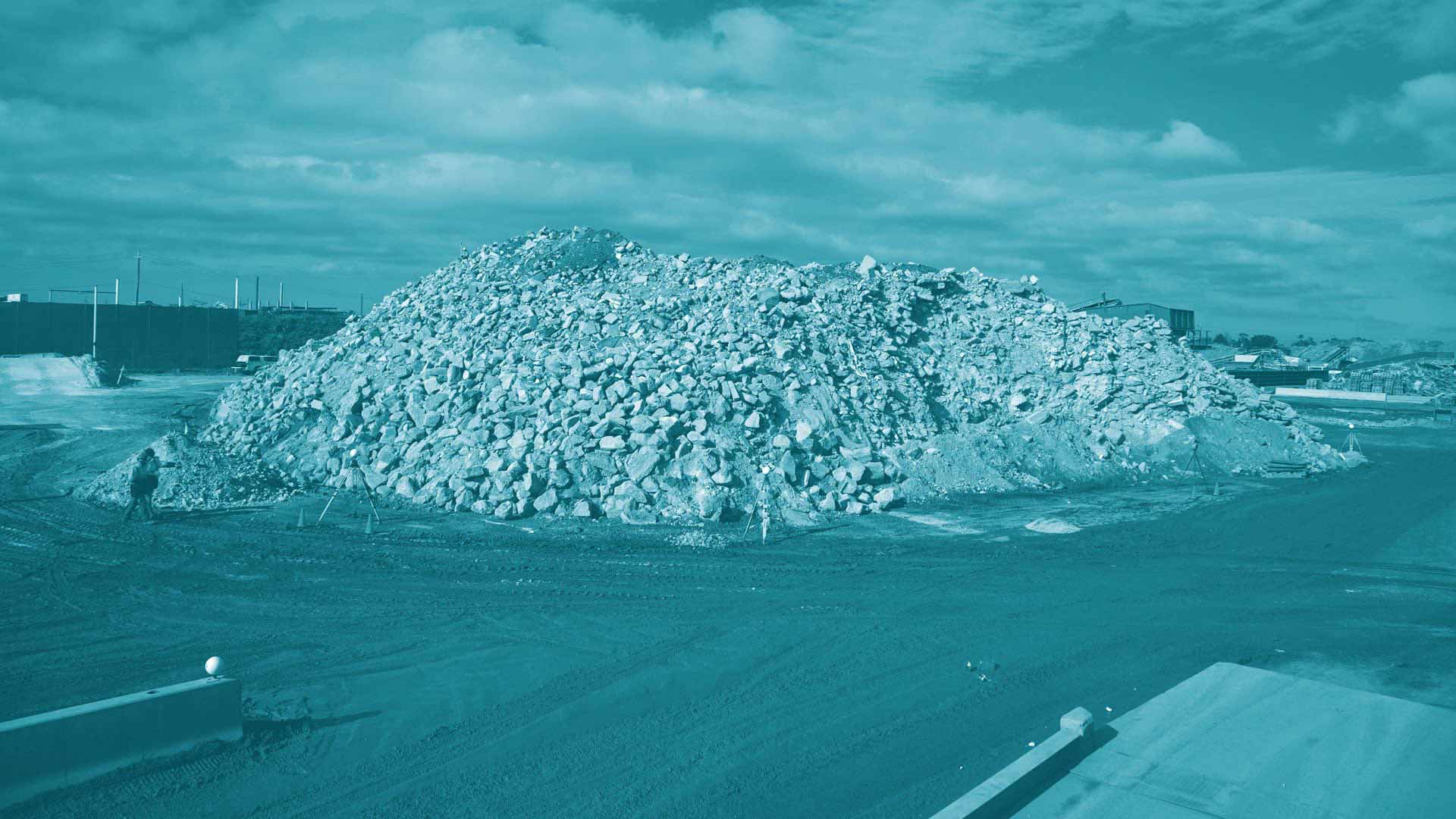
Surveyors use special GPS receivers to measure the location and levels of the tops and toes of stockpiles and any other changes in grades. This data is recorded electronically to an accuracy of +/-20 millimetres and downloaded directly into survey software at the office. A 3D model of the stockpile is then prepared using the software and a volume is determined.
Ground surveying is possible in any weather conditions and at short notice and is more accurate than aerial surveying. Generally results are also available sooner. If there are many stockpiles to measure or the area is very large then the ground survey can be time consuming.
Aerial volumetric surveying
Using an aeroplane, Landair Surveys takes stereo imagery of the subject site. This imagery is then brought into photogrammetric software to produce a 3D model of the area where the volumes are to be determined.
We can calculate stockpile volumes as well as quarry extraction volumes and landfill capacity volumes.
Aerial surveying allows a snapshot of the ground situation at a single instant and is an efficient method for measurement when the site to be measured is large, there are many stockpiles or there is a large area to measure.
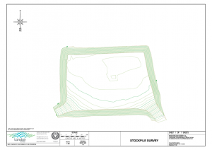
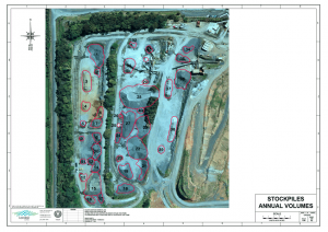
Volumetric survey sample gallery
Did You Know?
Both ground and aerial surveying produce the best results when the stockpiles and surfaces are smooth with well defined edges. This is because fewer points are required to be measured and it is easier to prepare a 3D model of smooth surfaces.
It is also important to consider the ground surface that the stockpiles sit on. Obviously neither ground nor aerial surveying can measure the ground underneath a stockpile. A smooth base surface for a stockpile will allow accurate volume determination. Whereas, if the ground beneath the stockpile is irregular or sits partly on a bench or against an irregular wall, surveyors will need to use a best estimate of what the ground is doing under the stockpile.