The Department of Environment, Land, Water & Planning (DELWP) required a high quality and high resolution orthophotograph of French Island. They required the imagery in a couple of formats; 1km 4-band tiles (RGBI) in .tif format, and a whole site three-band ECW mosaic as both RGB (1,2,3) and Colour Infra Red CIR (4,1,2). Last month we provided aerial imagery for DELWP for Phillip Island, just south of French Island.
We captured imagery over two days and had to stop short on one of the days due to a small bush fire starting during the flight!
After stitching all the images together to create an orthorectified image, we reviewed the shadows and increased the gamma values to both maintain detail on very white roofs and detail in the dark shadows. As a result, the imagery is immaculate and completed to a high standard of detail.
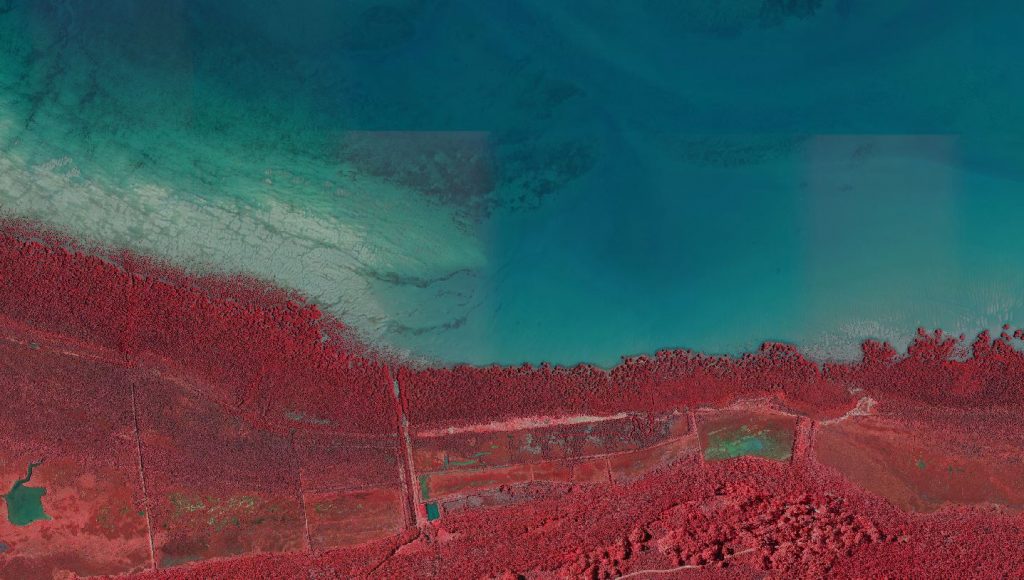
CIR coastal area 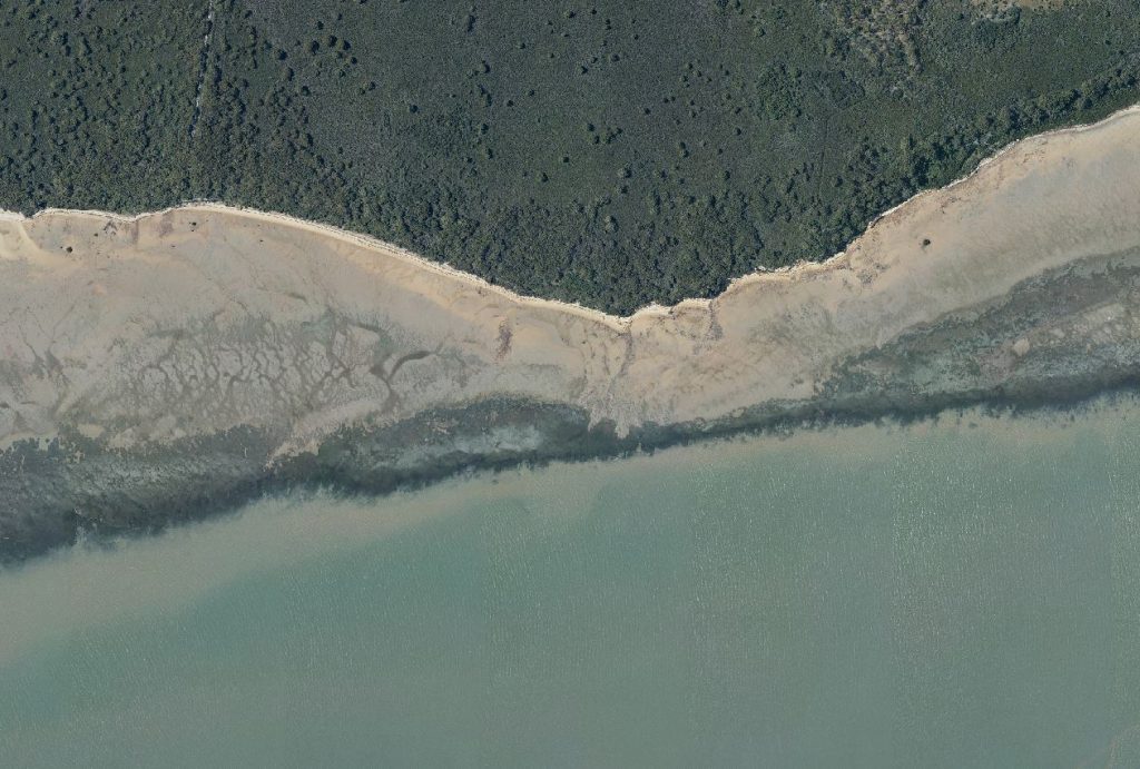
RGB coastal area
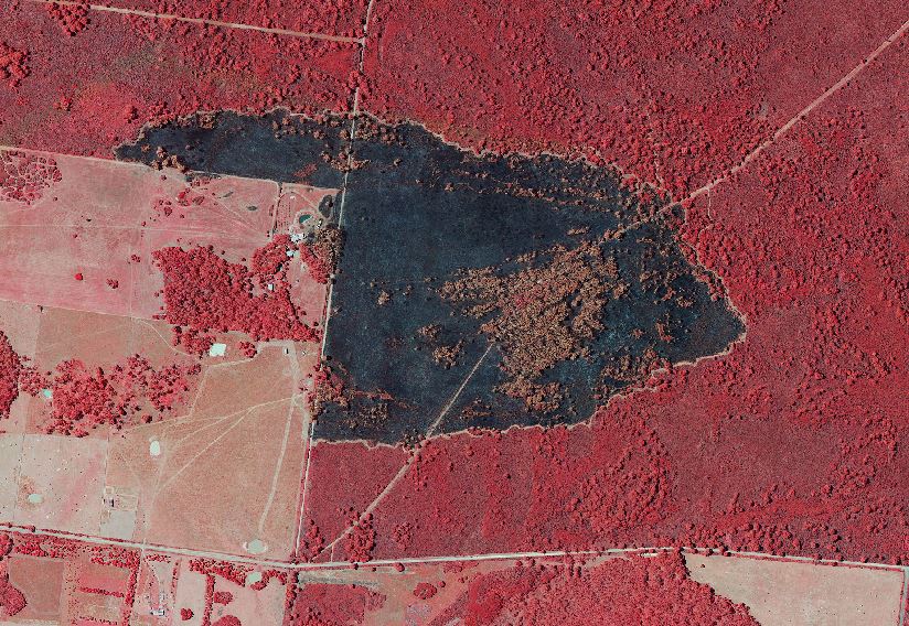
CIR Burn Area of French Island 
RGB Burn Area French Island