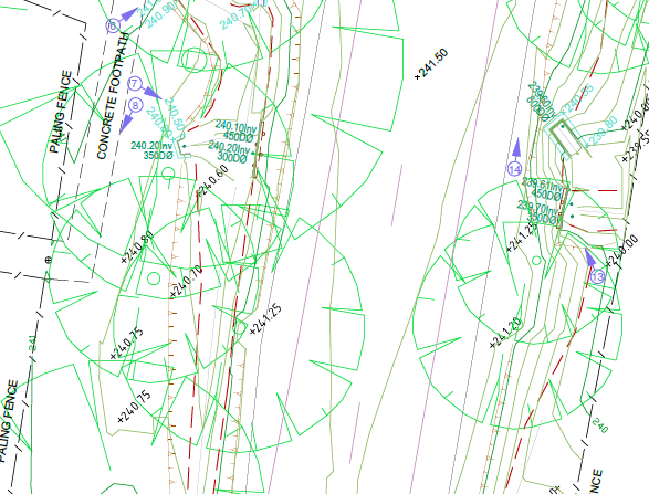
The Hume City Council requested Landair Surveys to conduct a Road Feature and Level Survey of Racecourse Road in Sunbury for the purpose of new road designs and road rehabilitation. Existing topographic, natural surface and road features are measured accurately with a Total Station and Global Positioning System (GPS) receiver unit. Our surveyors used multiple computer-aided-design (CAD) software packages to collate and process the measured Road Feature and Level survey. The end result is a three-dimensional Digital Terrain Model (DTM); which models the existing topographic features, road and natural ground surfaces. As a result, designers and engineers work off the three-dimensional DTM to develop preliminary road design options.
Land, Engineering and Aerial Surveying Solutions