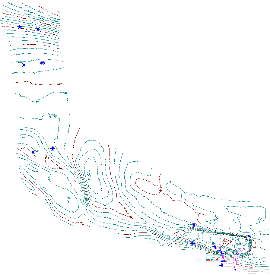
Landair Surveys completed a Bathymetric Survey for Mornington Peninsula Shire for the channel at Rye boat ramp using GPS and single-beam sonar measurements. The client wanted to know what the depth and shape of the channel is under water and if there had been any movement of sand bars into the channel.
We provide them with surveys of several boat ramps annually to monitor the depth of the channels and any movement of sand bars in the area, which helps provide more understanding of the underwater conditions/terrain and helps them estimate when they will need to perform maintenance next.