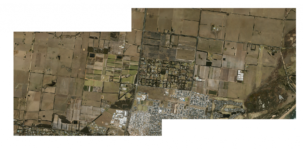
Landair Surveys has recently finished working on high resolution imagery for a land development company.
We have captured 5cm Ground Sample Distance high quality imagery, created very precise Digital Elevation module as well as 20cm contours over the area and supplied the client with 5cm resolution Ortho mosaic, 1m DEM and 20cm interval contours; this generated a great result..
Imagery was captured from our Vulcanair P68 twin engine aircraft using our specialised fully calibrated and compensated Leica RCD30 aerial camera system. Our client supplied eight ground photo control points and check points.