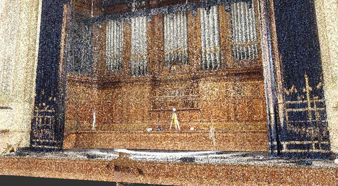
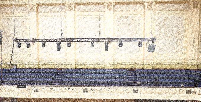
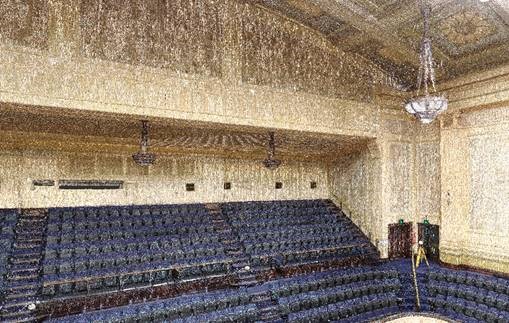
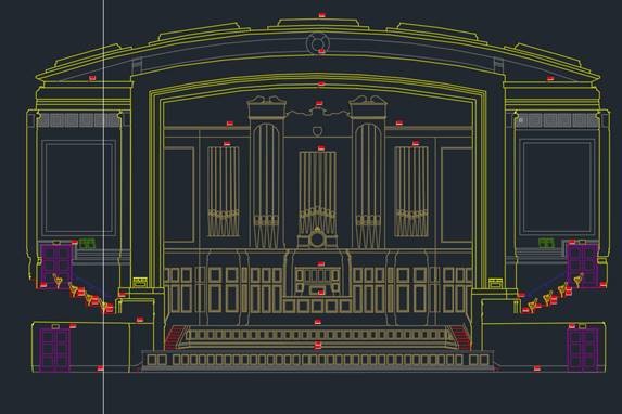
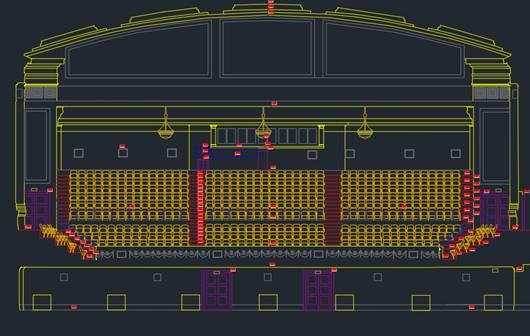
The City of Melbourne requested Landair Surveys to create some internal elevation plans of Melbourne Town Hall. We created and viewed the point cloud in slices and extracted the geometry piece by piece, by tracing features once they were aligned correctly. We then added in all of the features into the correct layer and applied the elevation labels so that the end user is able to identify the height of these features.
Land, Engineering and Aerial Surveying Solutions