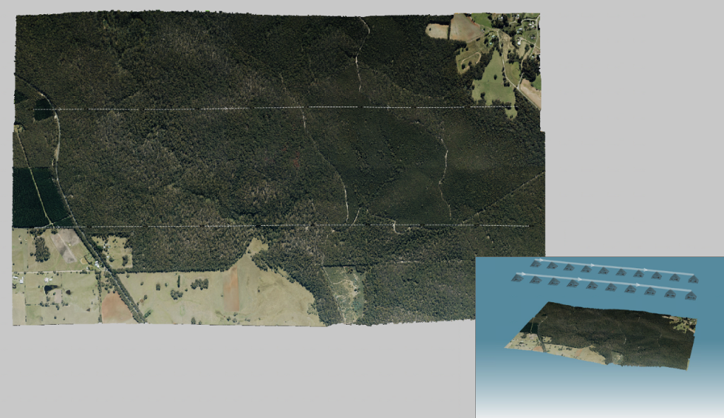
The Department of Environment, Land, Water and Planning (DELWP) requested Landair Surveys to use our 4 band Aerial Photography service for planned burns (or hazard reduction burns) throughout southern and western Victoria. We flew and captured imagery to identify the full extents of the burns and captured 4 band imagery: Red, Green, Blue and Infrared. The Infrared helps to differentiate healthy vegetation from dead vegetation, a key element for this job.
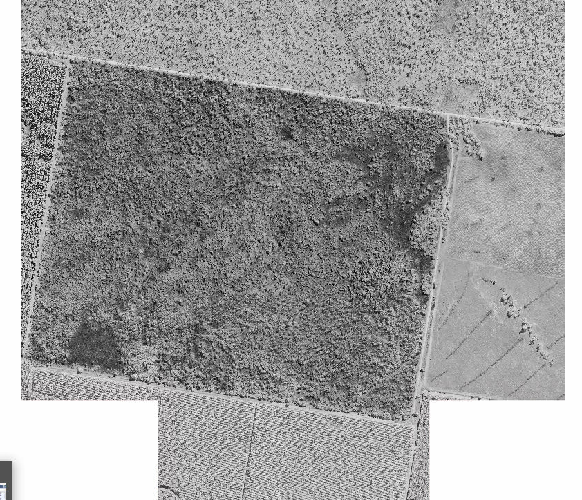
Infrared band only 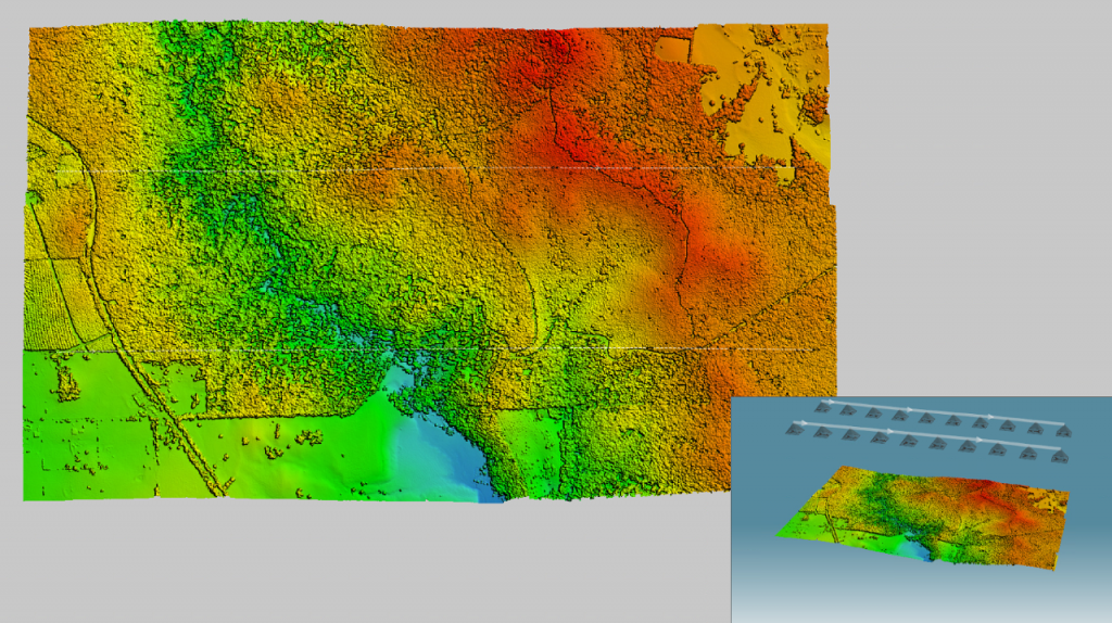
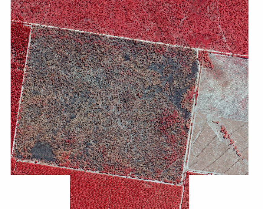
CIR image