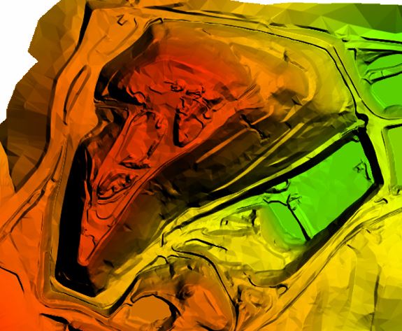
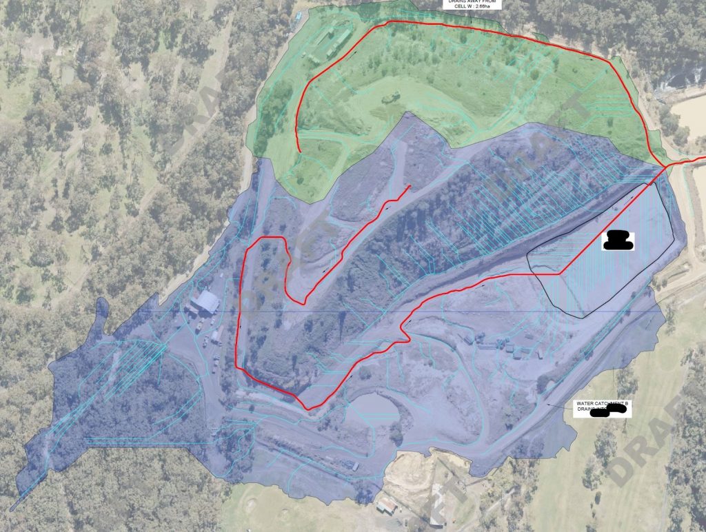
We captured aerial photography over a site in NSW to determine the landform for all types of spatial analysis. Using photogrammetry, we vectorised 3D breaklines and created an accurate bare earth Digital Terrain Model over the site. From the Digital terrain Model, we were able to determine the water catchment areas and water flow lines for several dams on the site. We also calculated volume changes and height differences from historical aerial photography