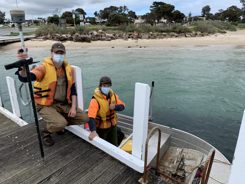
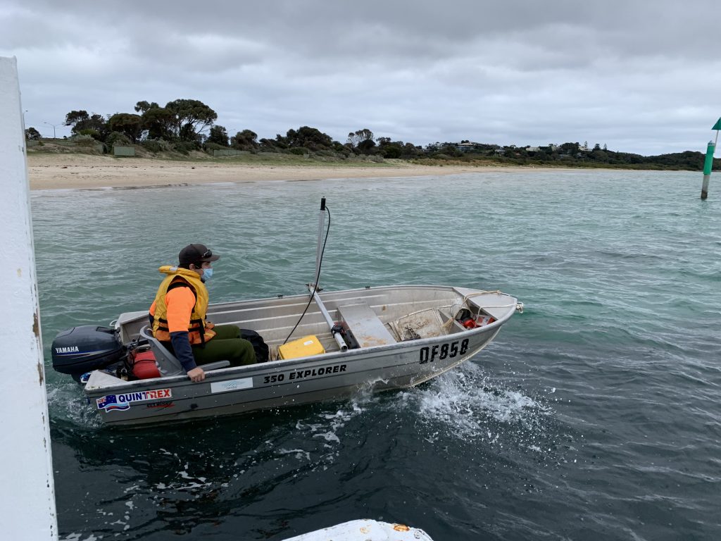
Bathymetric surveys involve measuring the terrain of lake, dam or ocean floors to determine the bed profile. For this project, our client Mornington Peninsula Shire Council required surveys of the sea bed near boat ramps at Rye and Sorrento prior to dredging. The survey measured the Reduced Levels of the sea bed to inform Council how much dredging would be required to keep the boat ramps operational.
Our surveyors Marcus and Matthew surveyed the shallow water by wading out and using a RTK GNSS receiver, whilst in deeper water we used our boat with a CEE-LINE Hydrographic Survey Echo Sounder together with RTK GNSS.
We provided our client CAD and PDF plans showing the contours and Reduced Levels of the sea floor and post dredging we will return to remeasure the bed to confirm that dredging has removed enough sand to keep the boat ramps open.