Our client requested Landair Surveys to conduct digital photogrammetric mapping over 250 hectares of land, measured in 3 dimensions and generation of 0.5 metre contour interval and quality imagery.
Landair Surveys mapped the greenfield site to a high accuracy and created an orthophoto and CAD plan. This enabled our client to undertake design work and to submit a planning application for a future development
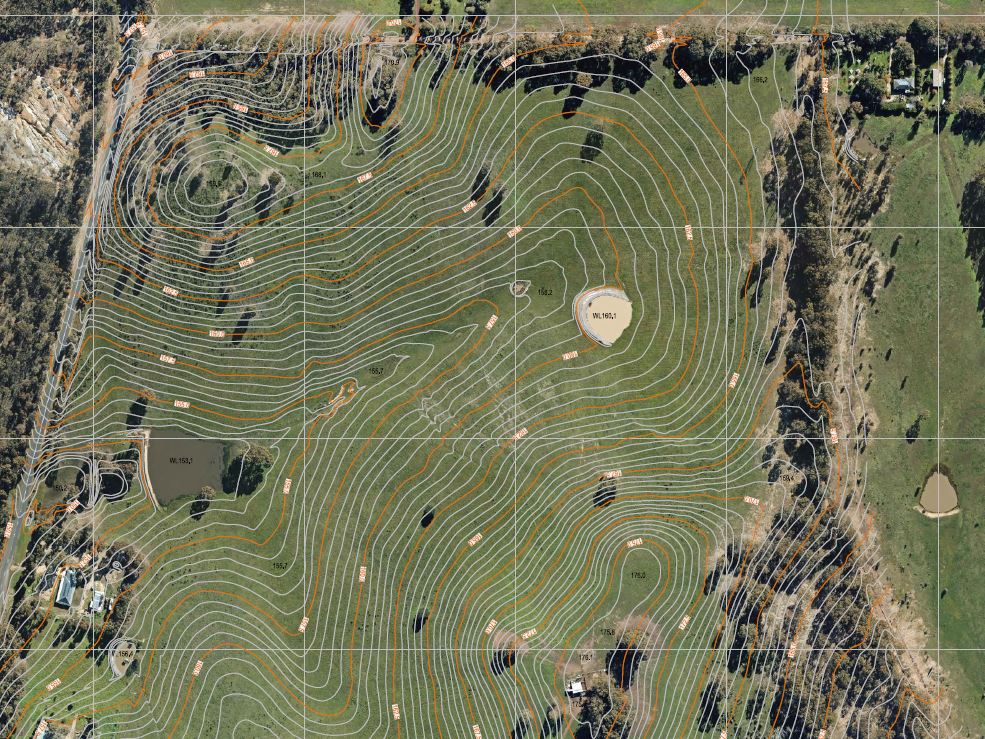
Site Contours 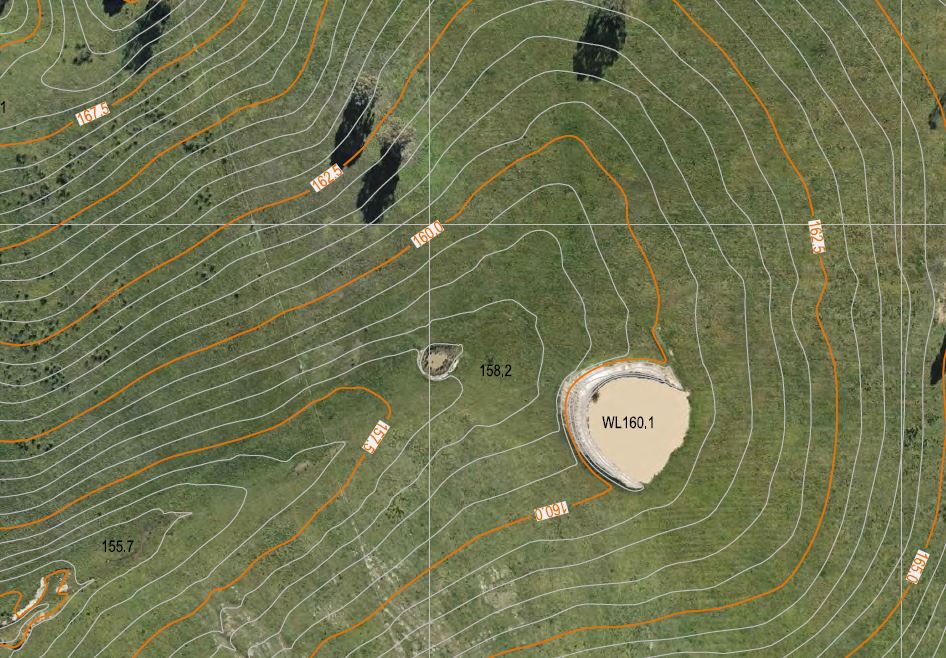
Close Up of Site Contours