Our client Hobsons Bay City Council requested for Landair Surveys to provide an update of their sediment management system in their Rifle Ridge Wetlands in Williamstown; the only information they had were rough design plans that did not obtain any useful level information.
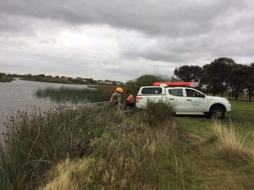
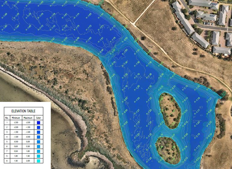
We conducted a full bathymetric survey of the ponds and lake in the area, providing not only the existing surface of the base of the ponds, but also the thickness of sediment that had built up in each area. The area provided some challenges with the amount of vegetation, underwater rockeries and shallow area.
Utilising our dual frequency sonar as well as manual wading with the conventional survey methods, we were able to obtain depths to the separate surfaces, giving the client a better understanding of the progression and current situation of their waterway system hidden underwater.