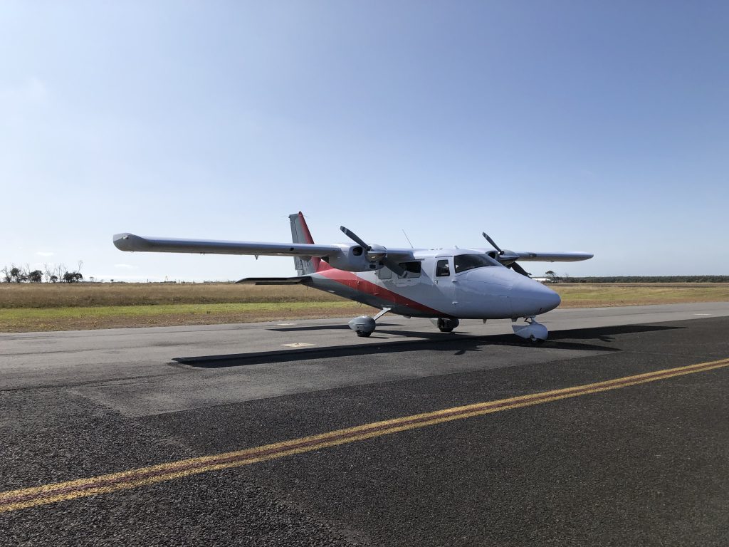
Getting ready to take off this morning from Portland to capture high resolution aerial imagery over 308 square kilometres of the Budj Bim Cultural Landscape in south west Victoria.
The recent bushfires revealed additional areas of an ancient aquaculture system built by the Gunditjmara people to harvest eels. The aquaculture system was added to the UNESCO World Heritage List last year. See ABC news article
We are capturing this imagery on behalf of the Department of Environment Land Water and Planning. The photography will be primarily used by the Gunditj Mirring Traditional Owners Aboriginal Corporation to help identify vegetation types and weed infestations, monitor post burn regrowth and help map a number of significant archaeological features found across the landscape.
Imagery will be captured with a ground sample distance of 5cm and in four bands (Red Green, Blue and Near Infrared). We will be producing high resolution orthophoto mosaics and tiles.

