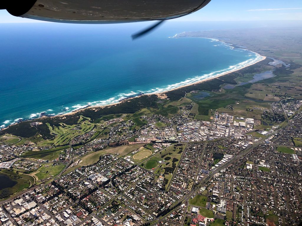
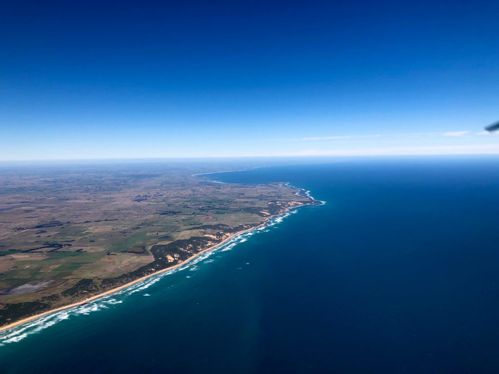
Landair Surveys was engaged by the Department of Environment Land Water and Planning to capture imagery over 230 square kilometers over the city of Warrnambool and surrounding areas. Warrnambool is located in the south west of Victoria. Warrnambool is part of Victoria’s most productive farming region and is home to 34,000 people who enjoy this beautiful sea-side location.
The 3-band RGB aerial photography was captured at 10cm resolution. The high accuracy orthophoto will be used by Council to assist with planning building development, asset management, special council projects and other internal purposes. The imagery was captured using our Leica RCD30 specialised aerial camera system mounted in our Vulcanair P68 twin engine aircraft.