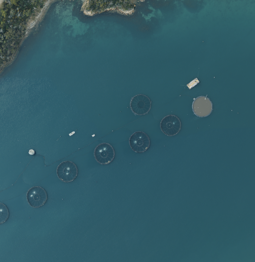
Landair Surveys was recently engaged by the Department of Natural Resources and Environment Tasmania to capture orthophoto mosaics of more than 2020 square kilometres of towns, rural areas and forests across the state’s unique and rugged landscapes, stretching from Bicheno in the north to the South West Ranges National Park in the south.
Orthophoto mosaics, taken at Ground Sample Distances (GSD) of 10cm to 25cm, were the perfect survey solution for this project. An orthophoto mosaic is a detailed, accurate photo representation of an area, created from many photos that have been stitched together and orthorectified.
The process of orthorectification means removing the effects of image distortion induced by the sensor (camera), the viewing perspective and relief (the ground surface) to create an image that is planimetrically correct. The resulting orthophoto has a constant scale, so features are represented in their true positions in relation to their ground position.
The Landair Surveys team, including Fiona and Kelly, has carefully navigated Tasmania’s ever-challenging variable weather conditions. Significant juggling of different project areas was required to avoid clouds. The image capture commenced in January and is expected to conclude at the end of March.
Tasmanian State and Local Government will have a complete and up-to-date set of high quality orthophoto mosaics that will be used for ongoing analysis and assistance with every day corporate geographic information system (GIS) enquiries, map production and asset identification, as well as planning urban growth, by-laws enforcement and planning forest and national park operations.
A highlight of the project was photographing Freycinet National Park, best known for the stunning beauty of Wineglass Bay and its crystal-clear waters and curvaceous white beach. The photo below was captured at an altitude of 9,400 feet and 25cm GSD.
Find out more about Landair Surveys’ aerial photography survey solutions and orthophoto mosaics here
