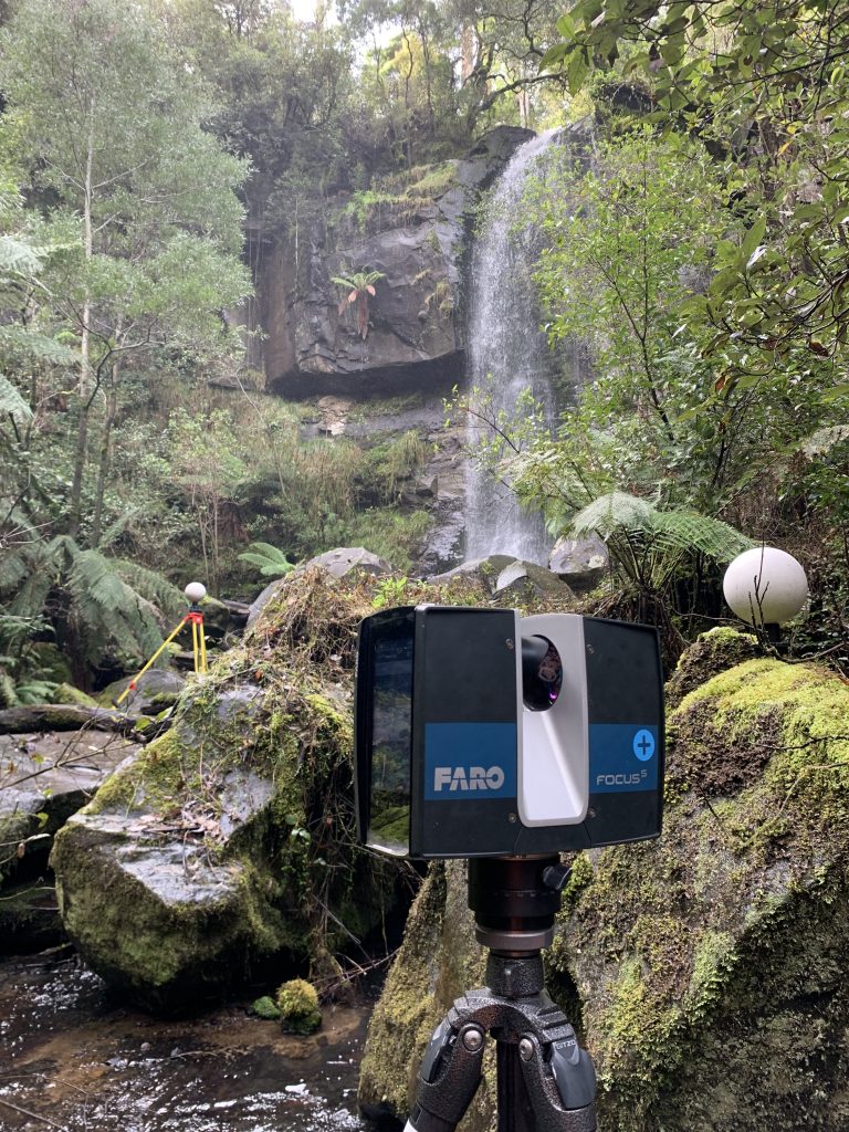
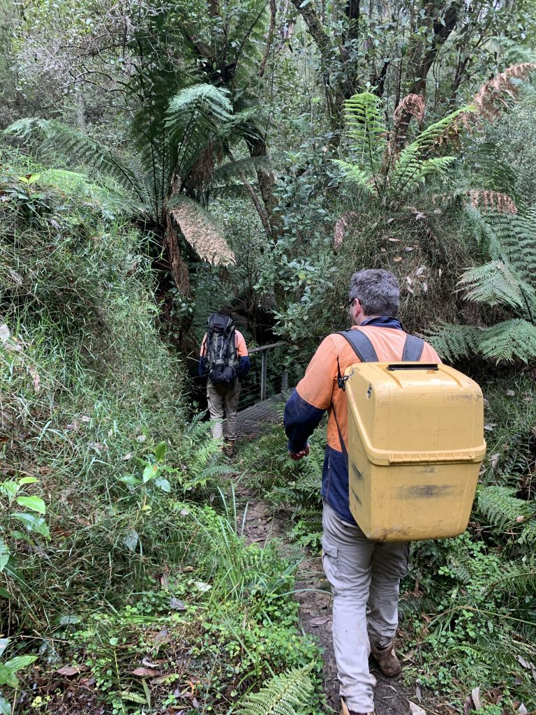
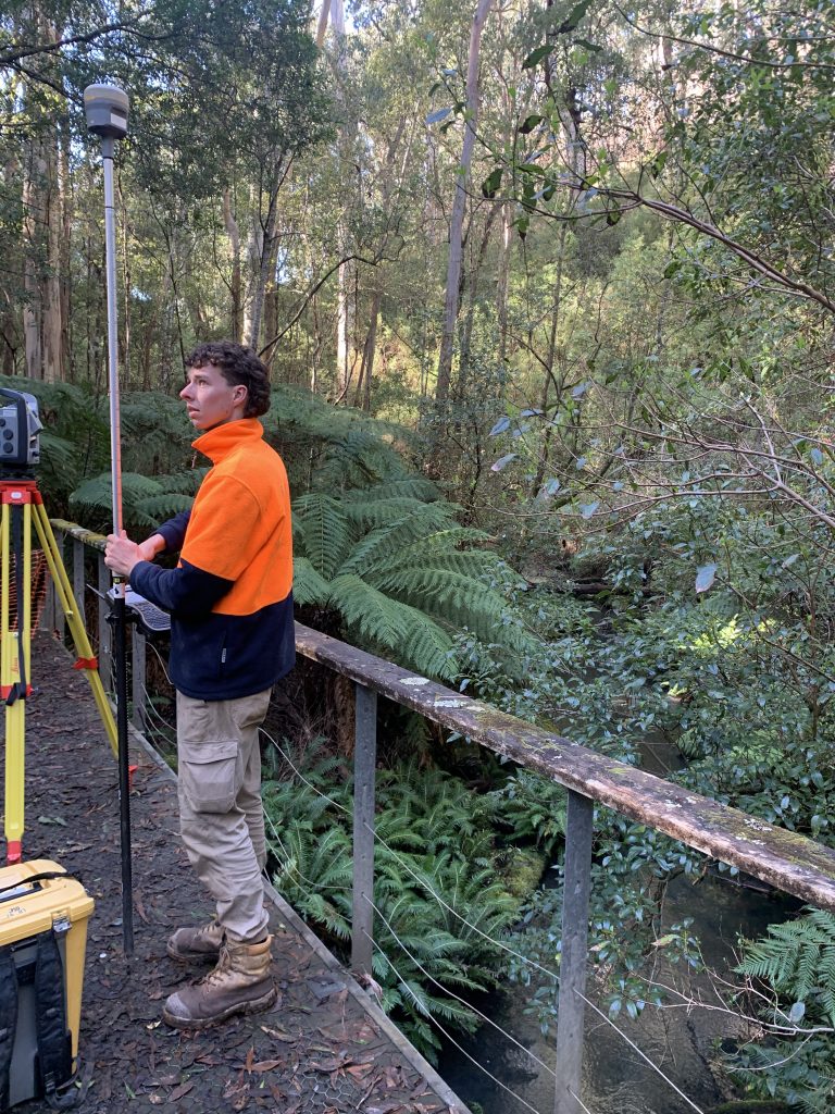
Our surveyors Brad, Matthew, David, Matthew and Marcus spent many hours trekking through some spectacular parts of Victoria to survey cliff faces, walking tracks, viewing platforms, elevated walkways and staircases to enable Park Victoria to design upgraded facilities for all of us to enjoy. Our surveyors had to use all of our different instruments to get a complete existing conditions analysis including laser scanners, drones, total stations and GNSS.