We are about to introduce a new generation of aerial surveying solutions for our clients.
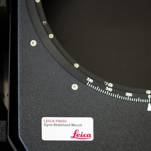
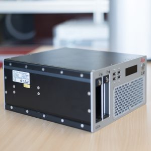
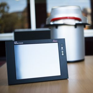
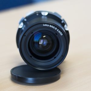
With the latest purchase of the ultra-modern Leica RCD30 airborne camera for photogrammetric and remote sensing applications, our surveyors have redesigned the whole end-to-end aerial surveying solution, slashing our turnaround time by up to 67% and introducing a whole range of new services for our clients.
In just a few weeks the brand new Leica equipment will be fitted to Landair’s aircraft.
Very soon we will offer a whole range of new benefits to our existing and new clients:
- Faster turnaround time – full integration with highly efficient software workflow means urgent projects may be completed on the same or the next day;
- Reduced impact for the client’s operational team and reduced risk associated with site access issues as less ground photo controls points will be required on site;
- Increased reliability – with less dependence on weather conditions thanks to better camera sensor, surveying can be done in less favourable lighting conditions;
- Shorter processing time – by integrating cloud-based IT solutions Landair will slash the time required between collecting data and processing it, for example, instead of shipping a hard drive to the head office by overnight courier, the data will be uploaded to Landair’s servers within minutes;
- Additional surveying services will be offered, for example, 3D point clouds for easier visualisation, or thanks to the new NIR (near-infrared) feature, vegetation health analysis.
For more information on aerial surveying solutions, please contact Landair Surveys on 1300 130 158 or see our Aerial Photography services page.