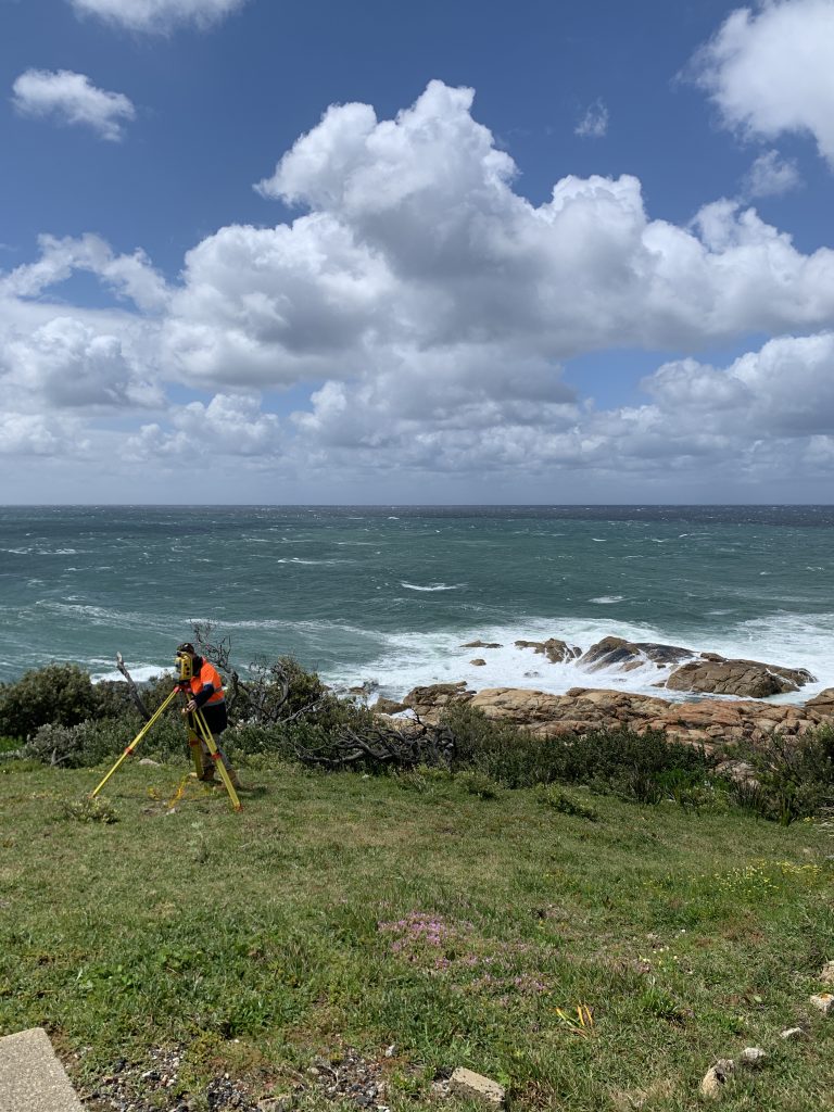
We travel anywhere to capture accurate site conditions. For this project, our surveyors were helicoptered in as there was no road access! Camping on site for four days, meant we could complete this survey using laser scanning, drones (UAV) and traditional surveying instruments total stations and GNSS.