Zoos Victoria recently appointed us to provide high resolution aerial photography and ortho-photographs to use in the Zoos Geographic Information System (GIS).
Our aerial surveying service combined with photogrammetry is the cheapest and quickest way of accurately mapping a large area. The aerial photos can be used for planning, 3D mapping, volumetric surveys and promotional activities.
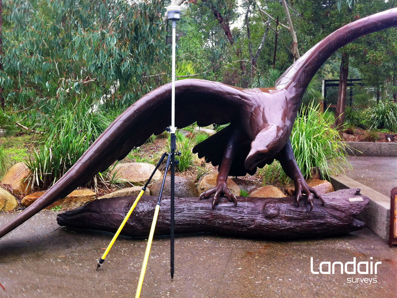
Surveying ground photo control points at Healesville Sanctuary, Victoria to support an aerial survey of the 200 hectare site.