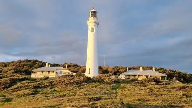
Beechworth Shire Hall and Burke Museum
Sector: Architects
Location: Beechworth, Victoria
Client: Conservation Studio
Services: 3D Laser scanning, Aerial & drone
Completion date: 2025
Data: Point cloud
-1-1440x810.webp&w=1920&q=80)
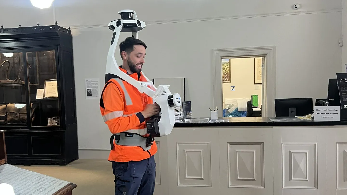
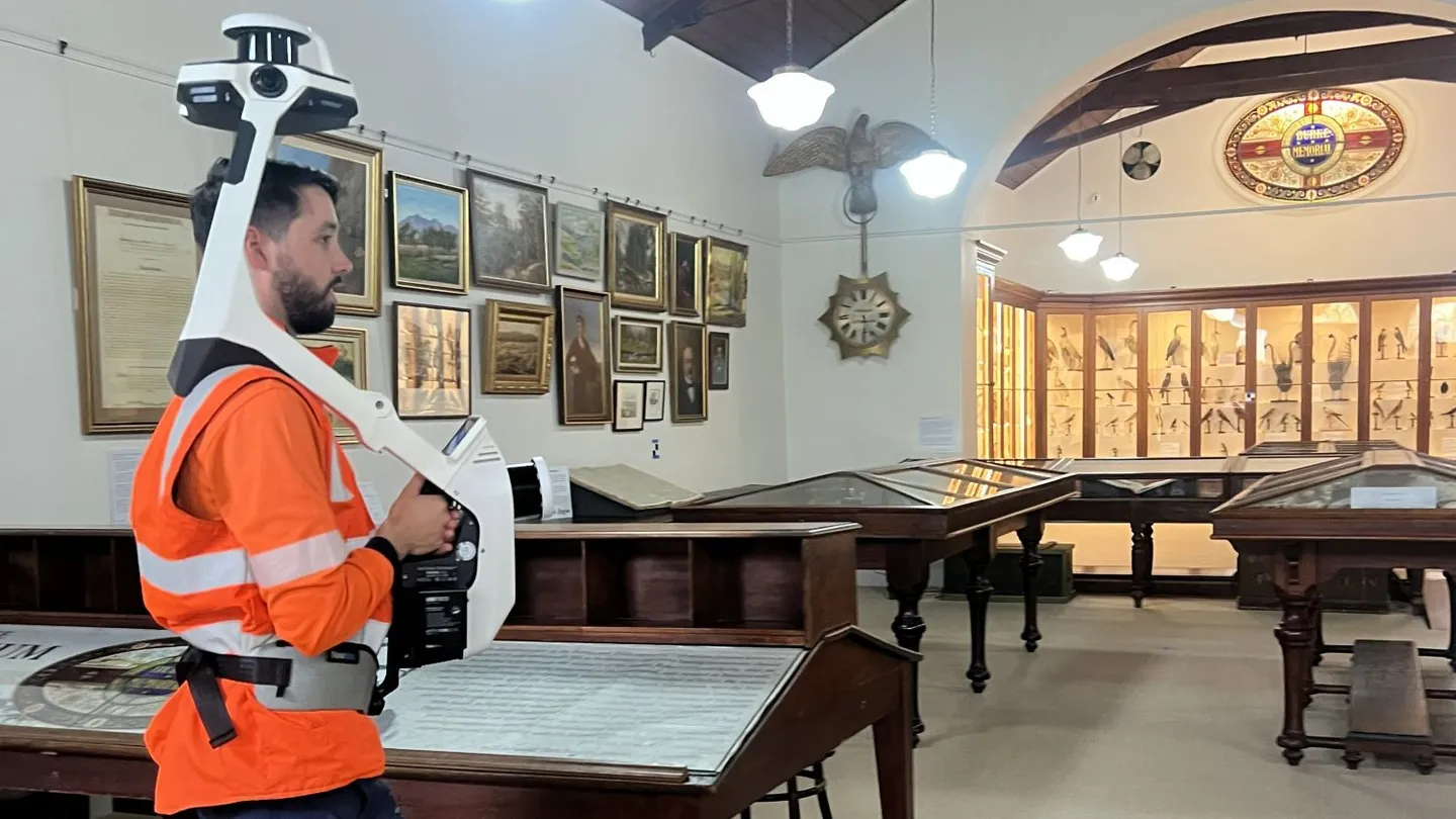
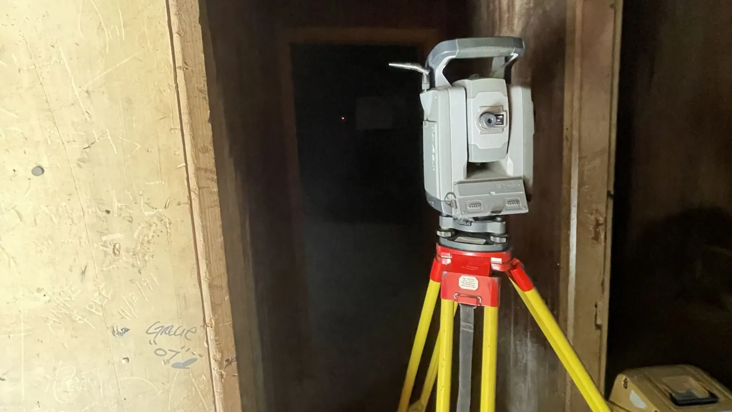
Landair Surveys was engaged by Conservation Studio to capture complete 3D laser scanning data for two of Beechworth’s most significant heritage sites: the Shire Hall and the Burke Museum. Both 19th-century buildings feature narrow corridors, low ceilings and a mix of later additions, making access and line-of-sight planning critical to achieving accurate results.
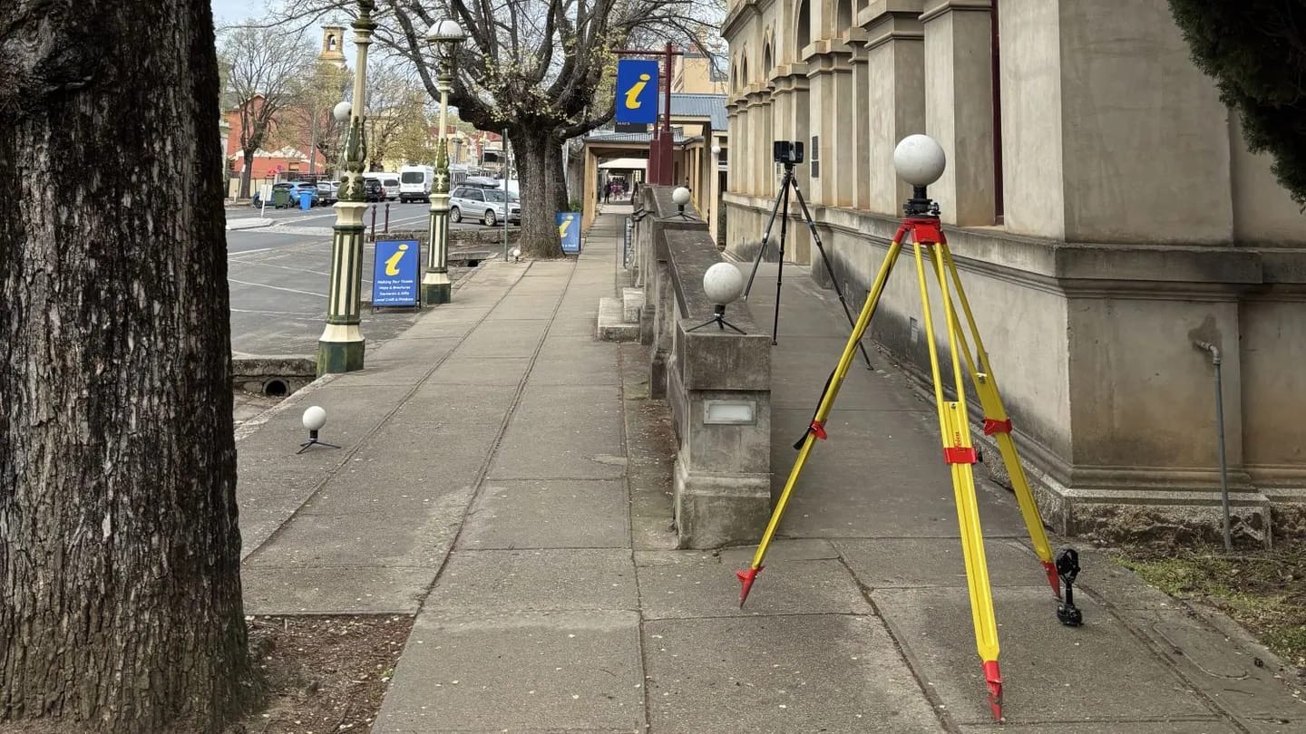
A combination of terrestrial, mobile and aerial scanning methods was used to document façades, interiors and rooftops across both buildings. This integrated approach ensured full coverage and alignment across complex architectural forms.
Services
Terrestrial laser scanning of façades and accessible roof areas (Faro Focus)
Mobile laser scanning of interior spaces using NavVis VLX3
RPA (drone) capture with Phantom 4 RTK to record limited-access rooftops
Establishment of coordinated survey control across both sites
Processing, registration and alignment of all scan data into a unified 3D point cloud
Key outcomes
- Colourised 3D point cloud covering façades, interiors and rooftops
- High-resolution imagery integrated with spatial data for context and documentation
- Accurate and verified dataset to support restoration and design planning
- Single reference model suitable for future monitoring or additional data capture
- Reliable foundation for long-term conservation and asset management
More projects