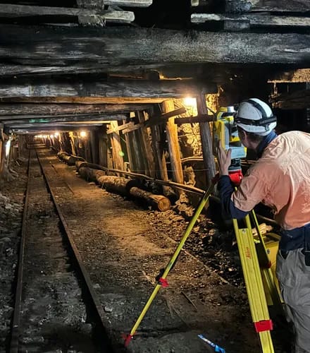
If you need millimetre precision or interior measurements, choose 3D laser scanning instead.
Aerial Photogrammetry Surveying Services
When you need accurate and usable data, but can’t afford weeks of boots-on-ground work, aerial photogrammetry surveying is the answer. By capturing a series of overlapping images – by drone or fixed-wing aircraft – we can:
• Rebuild your site in 3D,
• Measure it in detail, and
• Extract the information that matters.
From busy construction sites to remote landfills, aerial photogrammetry gives you the precision data you need, faster and safer. It delivers valuable outputs like orthophotos, digital terrain models and cut/fill volumes – all georeferenced and ready for planning, design or reporting.
Why choose photogrammetry surveying?
Photogrammetry offers a flexible and cost-effective way to collect reliable site data. It's especially useful in terrain that's difficult to access or where a full picture from above is critical for decision-making.
- High-resolution aerial capture – Collect overlapping images that reveal every visible surface.
- Accurate 3D data from 2D imagery – Generate true-to-scale surface models, contours and volumes.
- Safe, remote data collection – Cover hundreds of kilometres in a day for faster turnaround on data.
- Faster than traditional methods – Minimise ground time and avoid hazards with remote data capture.
- Versatile for many industries – Support design, planning, compliance, visualisation and asset management.
When to choose an alternative
The photogrammetry process involves flying over your site to capture high-resolution images from multiple angles. We then stitch these together using advanced software that recognises patterns in the overlapping photos.
The result? A spatially accurate, measurable model of your entire site.
If your site has poor aerial visibility, LiDAR or ground-based surveys will achieve more reliable results.
Who needs photogrammetry surveys?
This geospatial data is built from visual imagery – combining the clarity of photography with real-world measurements. It’s particularly useful when you need wide-area context, visual records and quantifiable surfaces.
Engineers and construction professionals
✔ Earthworks monitoring and surface comparisons
→ Help track change, detect errors and confirm progress
Property consultants and developers
✔ Visual site overlays and terrain models
→ Inform site planning and overlay title boundaries

Government and planning authorities
✔ Urban growth mapping, monitoring and compliance
→ Generate accurate, up-to-date spatial intelligence.
Landfill managers and operators
✔ Surface change, stockpile volumes and 3D reports
→ Support life-of-landfill planning and safe operations
Architects and heritage specialists
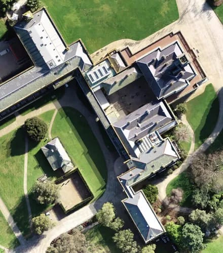
✔ Façade mapping and rooftop models
→ Document hard-to-measure details and structural geometry
What do you get from photogrammetry surveys?
Deliverables from Landair Surveys are tailored to your project, with formats ready to plug into your workflow:
High-resolution orthomosaics
A seamless, top-down image of your site with all distortions corrected.
Ideal for overlaying infrastructure plans, inspecting site conditions or reporting progress visually.
Digital Surface Models and Digital Terrain Models
DSMs show the elevation of everything on the surface. DTMs show the bare earth surface.
Useful for visualisation, terrain understanding and volume estimates.
Textured 3D meshes
Photorealistic 3D models of the site that you can navigate and inspect.
Helpful for stakeholder presentations, design context and visual simulations.
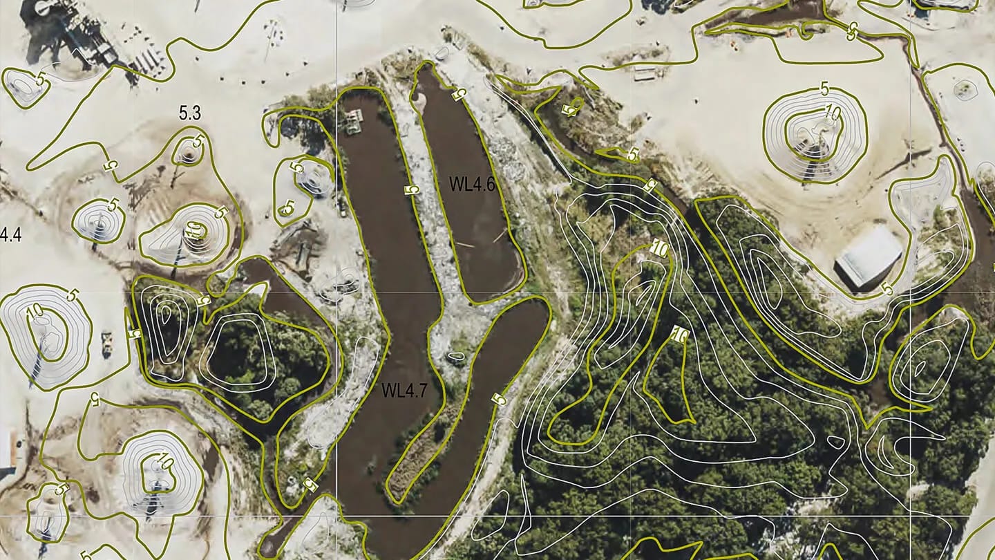
Contours and elevation maps
Generated from the surface model, these show changes in terrain.
Useful for planning, drainage analysis and identifying slope constraints.
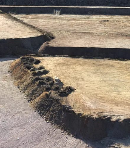
Cut/fill and volume analysis
Accurate calculations of material moved or remaining.
Particularly helpful for earthworks, landfill tracking and quarry management.
Georeferenced site overlays
We match your imagery and models to spatial coordinates using GNSS and ground control point.
Ensures everything aligns with your existing survey data or GIS layers.
Explore our projects

