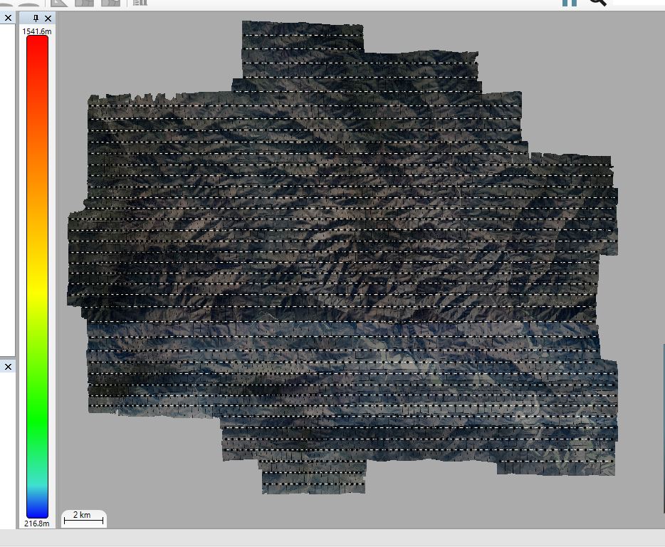
We are proud to have just captured aerial photography over a large 417 square kilometre site at Mt Darling near Dargo eastern Victoria. This was a challenging site with over 1,200 metres in elevation differences and requiring 2,670 image frames. We will be producing 15cm ortho rectified imagery with four bands (Red, Green , Blue, Near Infrared). The project was required for Victoria’s Department of Environment, Land, Water and Planning to investigate bushfire burn severity.